Hiking the waterfalls of Waterton
Tucked away in the mountains of southern Alberta, Waterton Lakes National Park is the most southern of the National Parks in the Canadian Rockies and possibly the best kept secret.
This gem brings you back in time and back to the land, with activities including horseback riding, incredible hiking for all levels (multi-day or close to town) fine dining, canyon exploring, and even boating across the Canada/USA border. And fall is a spectacular time to witness its beauty.
But you could spend weeks in this park and still not see it all. So what did I do with less than 48 hours in the park? I chose to chase waterfalls.
Waterton's scenic waterfall hikes
Starting with the closest waterfall hikes to the town of Waterton itself and working outwards, here are some waterfall hikes to check out in Waterton, in fall (or any season really).
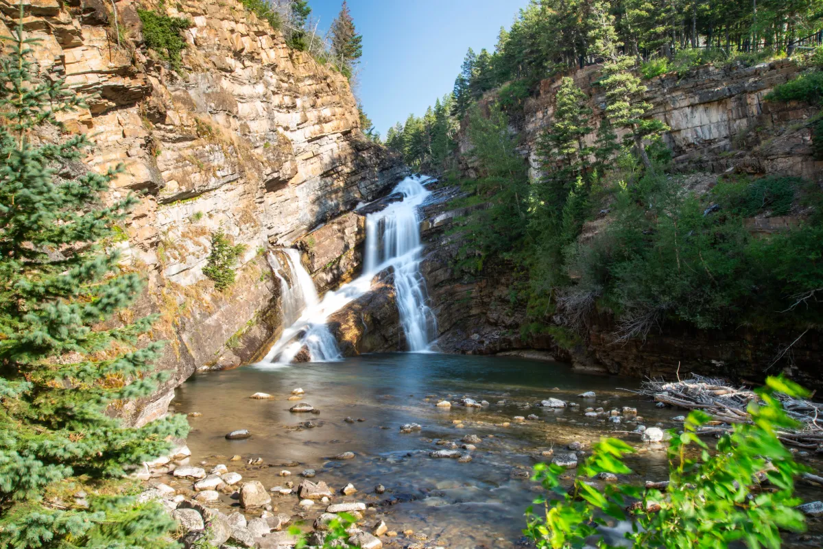
Cameron Falls
Cameron Falls is the closest waterfall to Waterton townsite, and the easiest to access! As you drive past, you can see these falls out your window.
But why drive past when you can stop and enjoy this waterfall from all angles that are made possible by the many viewpoints that have been built.
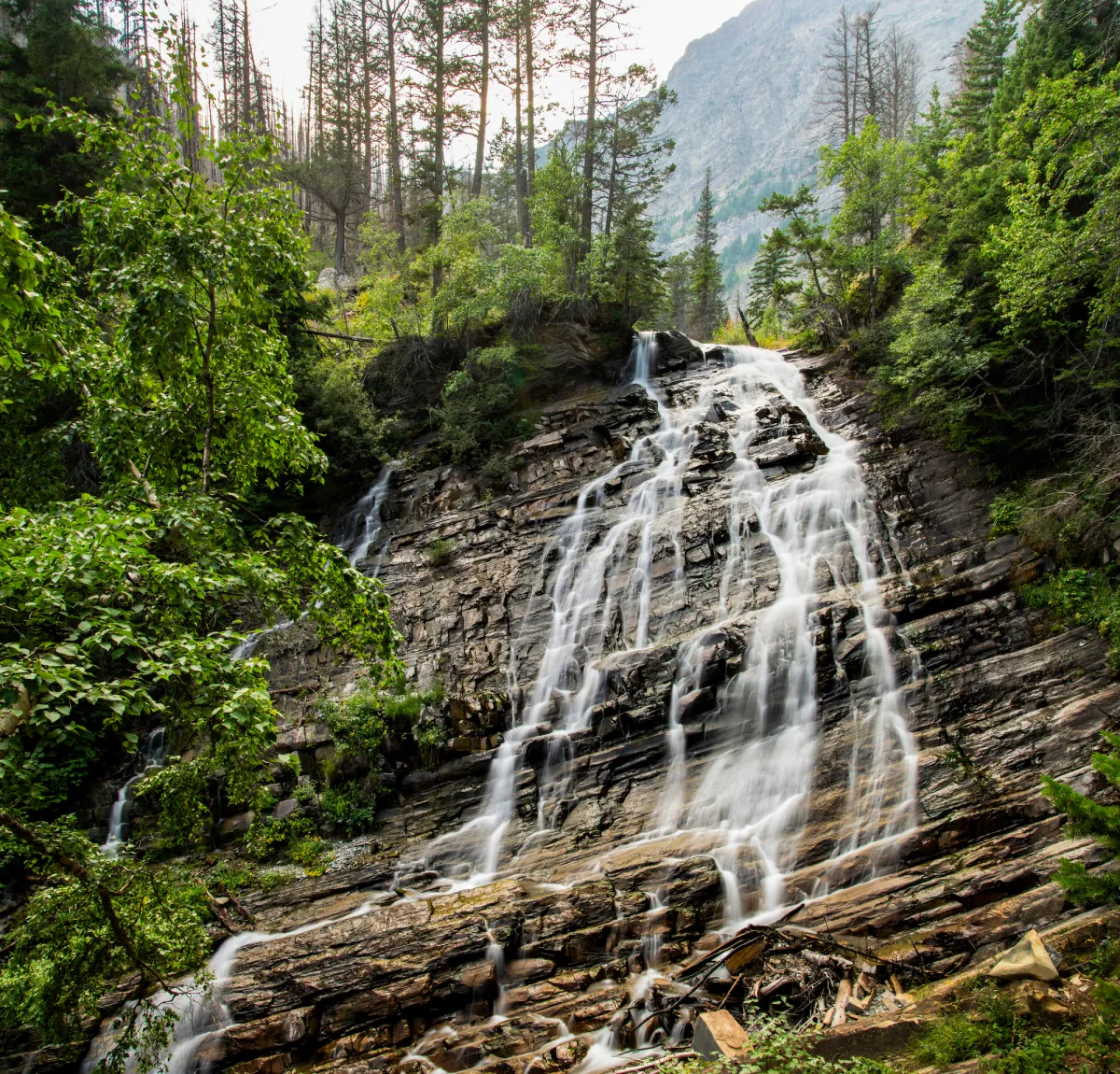
Lower Bertha Falls
The trailhead for Bertha Falls is located just west of town, and is walkable from town. We stayed at the Parks Canada town campground, so for this hike we left straight from our site, no car needed. From the trailhead, Lower Bertha Falls is a 2.4km hike. With 202m elevation gain, this slow but steady climb stays fairly gradual.
This trail had the best views of the trails we took, although if you're looking for a trail with views of town, Bear's Hump came highly recommended.
While on the Bertha Lake trail, you're surrounded by views of mountains, of Waterton Lake below, you even can see the town of Waterton, including the Prince of Wales Hotel.
Red Rock Canyon & Blakiston Falls
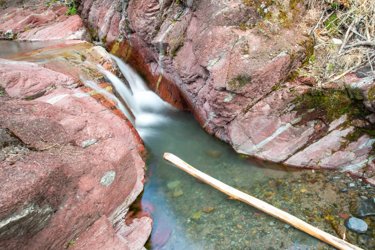
This one may not be a waterfall, strictly speaking. But Red Rock Canyon sure is a unique waterway adventure. Visitors can walk along the edges of this canyon on designated boardwalks, or, with the right footwear, can follow the bottom of the canyon through the creek.
PRO TIP: If you are planning to walk along the bottom of the canyon, packing and dressing right is important as you will be walking through water. Wear footwear that keeps your feet safe and gives traction on slippery surfaces. If you are visiting later in the day, make sure to pack a headlamp or flashlight in case you lose track of time while exploring these walls of red rock, because yes, the rock really is that red.
Get outdoors, get more connected, get more Zen.
Sign up for ZenSeekers enews for more transformative travel inspiration.
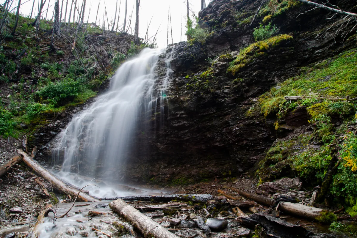
A short distance (1km) from the Red Rock Canyon, this trail weaves through the regrowing forest. Blakiston Falls and Red Rock Canyon are some of the most accessible spots in Waterton, with well-kept, wide trails.
Keeping this in mind, we visited during the evening and only ran into one other group at Blakiston. Newly built viewpoints allow visitors to safely get close to these falls.
Forum Falls, Forum Lake
Did you know that Waterton shares a border with the USA? It does! It also shares a border with Southern British Columbia.
While hiking to Forum falls, hikers will cross the BC/AB border since Forum Falls and Forum Lake are actually in British Columbia. To access Forum Falls, drive up the Akamina Parkway to the Akamina Pass trail parking. The falls are a 2.5km walk along a wide, well-maintained trail.
Past the falls to the lake is another 2km of trail to Forum Lake. Keep in mind, this section does get steeper and narrower. This trailhead is located just before Cameron Lake. Make sure to drive up to the lake and enjoy a walk around its shores, or even rent a kayak, canoe or paddle board to enjoy the mountain views from the water.
The mountains at the end of the lake are actually in Washington State.
While driving to Forum Falls and Cameron Lake, take a look at Cameron Creek weaving its way through the valley bottom. There are many pullouts and day-use picnic areas that make great spots to stop and take in the views from.
Crypt Lake (including four waterfalls)
Are you looking for a longer, more challenging hike? Then Crypt Lake should be on your list. With four waterfalls (Hellroaring Falls, Twin Falls, Burnt Rock Falls and Crypt Lake Falls,) along the way, this 18.8-km loop trail is accessed by boat.
#SeekersAmbassador Ash Reynolds (@scenicpaths) got on this trail earlier this summer and has a great Crypt Lake hiking guide.
Wildfire and rejuvenation
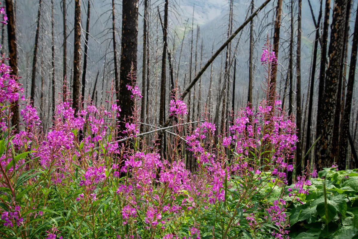
Another thing Waterton offers is a little perspective on wildfires in Alberta. Back in 2017, about 40% of Waterton National Park was burnt in a wildfire. You can see the scars in many places, and we noted it particularly along the Blakiston Falls hike.
This fire changed the landscape, but now walking through it seven years later, it is obvious that the environment is healing itself and regrowth can be found everywhere, especially during the summer months.
The lodgepole pine forest that once stood on these mountainsides are continuing with their natural life cycle, and after a burn, there is renewal of the forest.
Talking to a neighbouring camper after a day on the trails, she described the landscapes as being rejuvenated, as if they are going through a rebirth. While hiking we realized how much more open the views are with the trees gone, and there is evidence everywhere that regrowth is happening, just like nature always does.
When you go
All non-motorized watercraft from outside of the park are prohibited from entering water bodies in Waterton Lakes National Park.
Bear sightings are common around Waterton, often in or close to town. Be sure to take necessary precautions. Get the latest updates from the Parks office and visitor centre, or via their website.
MAP > your Waterton waterfall hiking trip, plotted out
Basic Text field
Like Our Facebook Page

