Updated:
Posted

Looking at weather trends into summer 2024, the hot, smoky summer of 2023 and record-warm winter that followed across Western Canada has many wondering if we could be looking at more of the same.
Weather forecasters have numerous, high-quality weather models at their disposal that, when combined with their expertise in applying them, can be used to create excellent short-range forecasts. However to get an accurate picture of the long range weather forecast for say, summer 2024, we have to look a little farther ahead.
So what is ahead for weather for summer 2024? Several possibilities lie before us.
NEW - weather update for July/Aug is now out! Get the latest long range summer weather update for Alberta and BC.

One such clue is a cyclical climate pattern called the “El Niño Southern Oscillation”, or ENSO, which is tied to sea surface temperature patterns in the tropical Pacific Ocean.
When temperatures here are well-above or below normal, there can be impacts to weather conditions thousands of kilometres away.
This is especially true during the winter months in the Northern Hemisphere.

The warm phase of ENSO, called “El Niño”, is often associated with warmer and drier winters than normal in western Canada. The cool phase, called “La Niña”, often brings cooler and wetter winters.
The very strong El Niño this past winter contributed to warm and dry conditions across western Canada, worsening the already severe drought in many areas.
Heading into the summer of 2024, model forecasts have us rapidly transitioning from El Niño into La Niña conditions by mid to late summer.
But as the overall ENSO pattern weakens during the warm season, it won’t typically influence the weather in a significant way. So, we must continue to look to other clues.

Sea surface temperature patterns elsewhere around the world can also influence how air moves around the globe, determining whether warm and dry conditions persist over certain areas or not.
For instance, cooler than normal ocean water in the northeastern Pacific combined with warmer than average temperatures in the North Atlantic Ocean have been linked to significant, multi-year droughts across the interior plains of North America.
As it turns out, these ocean temperature patterns are currently ongoing, and may be contributing to the severe, multi-year drought that is bringing low mountain snowpacks, reduced water sources, and stress to the agricultural industry across much of western Canada.
The Canadian Drought Monitor reveals just how widespread and severe the drought is across much of the region.

If atmospheric conditions don’t change in a way that brings significant precipitation to drought-affected areas, drought can persist or worsen.
Another clue that can provide some insight into long range weather prediction comes by comparing previous years with similar conditions to the present one.
For instance, the last two very strong El Niño events prior to the winter of 2023-24 occurred during the winters of 2015-16 and 1997-98.
The summer of 2016 trended cooler and wetter, while the summer of 1998 ended up being warmer and drier overall across western Canada.
Sign up for ZenSeekers enews for local culture & outdoor adventure across Western Canada.
Whether the summer of 2024 ends up like the summer of 2016 or 1998, or neither, remains to be seen. It may come down to how quickly or strongly we transition into La Niña conditions, or some other combination of factors entirely.
A final, confidence-inspiring clue comes when there is agreement for a given outcome among different long range weather models.
Long range models are currently predicting a warmer than average summer for western Canada across the board, which is fairly typical of summers following a very strong El Niño.
These same models are also in agreement that near-normal precipitation is likely across much of the west, with perhaps slightly wetter than normal conditions across parts of central and northwest BC during the summer.
Environment Canada’s long-range forecast for May, June, and July shows warmer than average temperatures, and generally near-normal precipitation across western Canada.

Weather trends can give us some insight into planning windows for different activities or travels, but in the end, it's about adaptation. Here are a few ways you can adapt to the developing trends, should they hold.
Should current trends toward a warmer than normal summer persist, low mountain snowpacks will melt out earlier than usual.
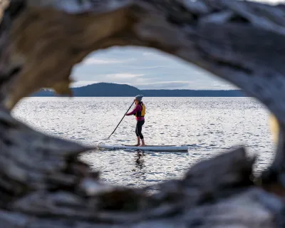
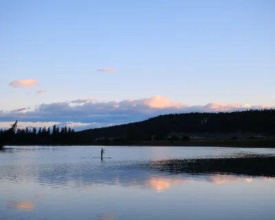
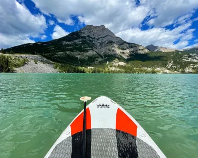
Planning tip: be ready to start the season early, taking advantage of drier early season conditions to hike or camp.
This also means that river flows in many areas could see early runoff, whil overall they continue to trend below normal as the summer progresses, with worsening drought in areas where precipitation lacks. What might bring earlier access to alpine areas, could be offset by yet another active wildfire season that begins earlier than normal.
Planning tip: monitor spring runoff reports for any early paddling trips, and be sure to bring lots of fluids for hot day excursions, and watch wildfire reports as the season progresses. Drought conditions may mean shallower rivers run slower in the hot months. Finding places to cool off may become the activity of the summer.
It is too soon to tell whether the current trend toward wet conditions in southwestern Alberta will persist through the spring and into summer, or perhaps expand more broadly. At this point, any moisture is badly needed and welcome in all forms.
Planning tip: it's never a bad idea to bring a rain jacket when traveling at higher altitudes, but rain is still a maybe.
Given the uncertainty in long range forecasting, especially for summer seasons, what ultimately plays out could differ regionally, or even change entirely.
Overall, though, it appears we could be trending toward another warm and smoky summer.
When summer gets hot, as it is likely to, here are some ideas for keeping your cool.